
01 / INSPECTION
Visual and thermal inspections
Visual and thermal screening of elevated surfaces, areas at height and hard-to-reach locations, to help guide specialist checks and interventions.
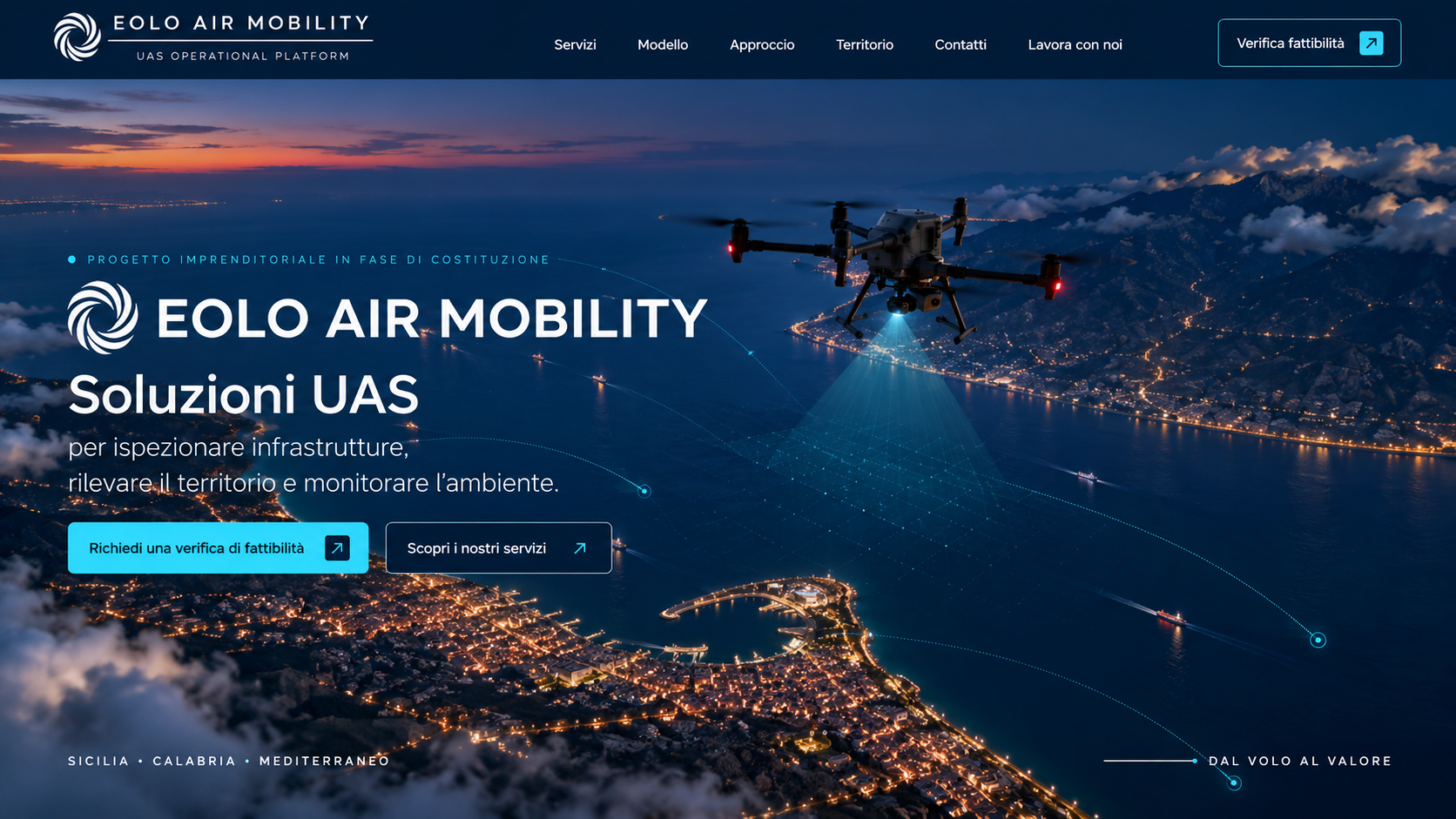
What you can receive ↗Business venture in formation
to inspect infrastructure, survey land and monitor the environment.
Illustrative image
Operational risk at the core
Coordinated requirements
A single point of contact
SERVICE AREAS
We start with the decision the client needs to make, then work backwards to define the mission, data acquisition and delivery. Actual outputs depend on the scenario, sensors and feasibility.
01 / INSPECTION
Visual and thermal screening of elevated surfaces, areas at height and hard-to-reach locations, to help guide specialist checks and interventions.
What you can receive ↗02 / SURVEYING AND MAPPING
RGB, thermal and geospatial data acquisition for surveys, models, site-condition records and infrastructure monitoring.
What you can receive ↗03 / MONITORING OVER TIME
Repeatable data acquisition to observe habitats, wildlife and crops, with agreed objectives and interpretation criteria.
What you can receive ↗04 / LAND MONITORING
Periodic RGB, thermal and, where applicable, multispectral acquisitions to observe large areas, detect changes and support decisions with georeferenced data.
What you can receive ↗CURRENT STATUS
EOLO is currently in formation and selecting its first use cases. Feasibility discussions and pilot-project planning are open; operational activities will begin once the applicable corporate, insurance and authorisation requirements have been met.
FEASIBILITY · OPEN
PILOTS · IN PLANNING
OPERATIONS · SUBJECT TO APPLICABLE REQUIREMENTS
PARTNERSHIP & PILOT
We are selecting businesses, organisations and professional practices with use cases to validate in Sicily and Calabria. The initial discussion defines the objective, feasibility, expected data and success criteria — before discussing technology.
EOLO Air Mobility brings together the expertise of its shareholders, combining aviation experience, training and a structured approach to UAS operations.
This experience guides the UAS operating model we are building: mission preparation, risk assessment, clear procedures, attention to human factors and post-operation review.
Our aim is to connect every operational choice to the data the client needs, before selecting the technology.
Briefings, checklists, go/no-go decisions and debriefs form the basis of the planned method. Aviation experience is combined with UAS-specific requirements and the purpose of each data acquisition.
We manage each mission with clear responsibilities.
We apply a method inspired by commercial aviation: procedures, checks and responsibilities defined before, during and after each operation.
Pilots are assigned only with qualifications and training appropriate to the planned operation.
Risk analysis, checklists and procedures before, during and after every flight.
Insurance coverage is verified and put in place in accordance with the applicable requirements before the operation.
Images and data are managed in accordance with privacy regulations and the agreed rules of use.
Drones are maintained in accordance with applicable rules and the manufacturer’s instructions.
EOLO is in formation. Operational activities will begin after the applicable corporate, insurance and authorisation requirements have been met.
We start with the decision the client needs to make, then work backwards to define the mission, data acquisition and delivery. Actual outputs depend on the scenario, sensors and feasibility.

Illustrative image
Visual and thermal screening of elevated surfaces, areas at height and hard-to-reach locations, to help guide specialist checks and interventions.

Illustrative image
RGB, thermal and geospatial data acquisition for surveys, models, site-condition records and infrastructure monitoring.

Illustrative image
Repeatable data acquisition to observe habitats, wildlife and crops, with agreed objectives and interpretation criteria.
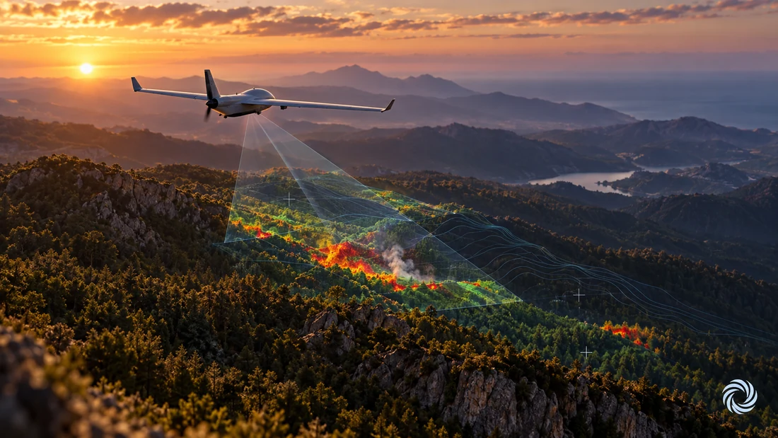
Illustrative image
Periodic RGB, thermal and, where applicable, multispectral acquisitions to observe large areas, detect changes and support decisions with georeferenced data.
The EOLO model applies aviation discipline to UAS operations: identifying risks, assessing them and defining mitigations before the mission.
Briefings, checklists, threat and error management, go/no-go decisions and debriefs are the basis of the planned operating method.
The client does not need to become a UAS regulations expert: the model coordinates feasibility, documentation and applicable requirements.
Practices and professionals retain the client relationship; EOLO is designed to work behind the scenes as their UAS partner.
The model defines purpose, data minimisation, access, traceability and retention before the activity, not afterwards.
Once a service is activated, EOLO takes responsibility for the UAS aspects under its control. The client’s non-transferable responsibilities and any specialist assessments remain explicit.
FROM NEED TO DELIVERY
A single workflow connects the need, feasibility, mission and output. Every technical choice can therefore be traced back to the intended result.
We define the objective, area, expected output and practical value of the project.
We assess the scenario, technical constraints, applicable requirements, privacy and site conditions.
We agree the scope, success indicators, responsibilities and data handling.
We organise the outputs to clarify priorities, follow-up checks and subsequent decisions.
EOLO’s credibility starts with genuine experience and how it is translated into the planned operation.
The project combines the shareholders’ expertise with a background in airline operations and aviation training.
Briefings, checklists, threat and error management and debriefs guide the method before a platform is selected.
The planned structure combines operational, commercial, administrative and sensor-support responsibilities.
The applicable framework is checked for each mission.
The initial phase focuses on Messina and the Strait, the Nebrodi, the province of Reggio Calabria, Gioia Tauro and the Sila. A local presence to understand sites, constraints and stakeholders before planning the mission.
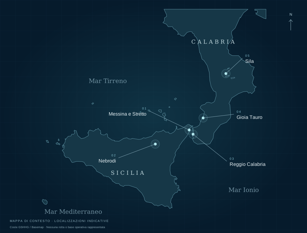
Coastlines: GSHHG / Basemap. Context map, not an operational map. Locations are indicative and do not identify bases, authorised sites or routes.
Initial areas of interest, not a statement of operational coverage or authorisations.
The approach requires the purpose, necessary data, authorised parties, delivery arrangements and retention or deletion periods to be defined before the activity.
If you represent a public or private organisation and are interested in testing and developing new hardware and software on our UAS platforms, contact us to explore a possible collaboration.
Discuss a collaboration
Tell us about the context, objective and expected timeframe. The first step is to establish whether the scope is clear and measurable.
Contact EOLO Air Mobility to submit an application or propose a professional collaboration.
Contact us ↗